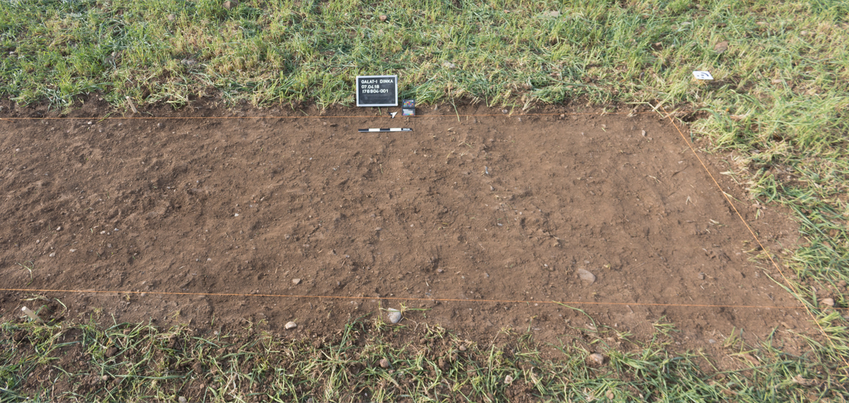
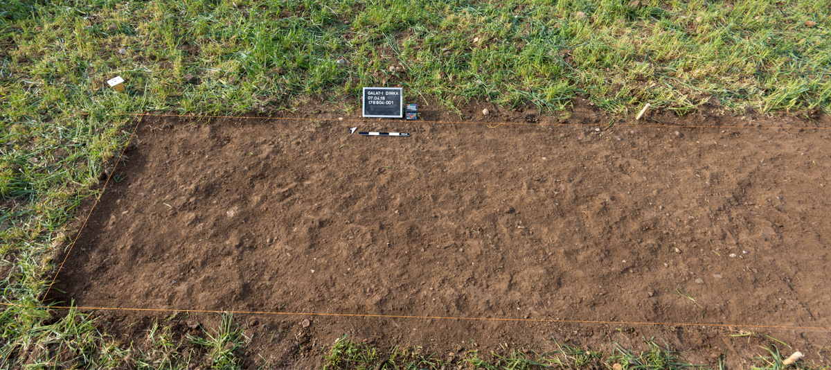
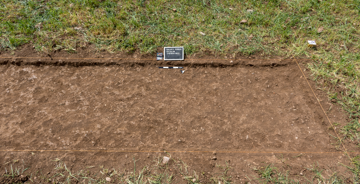
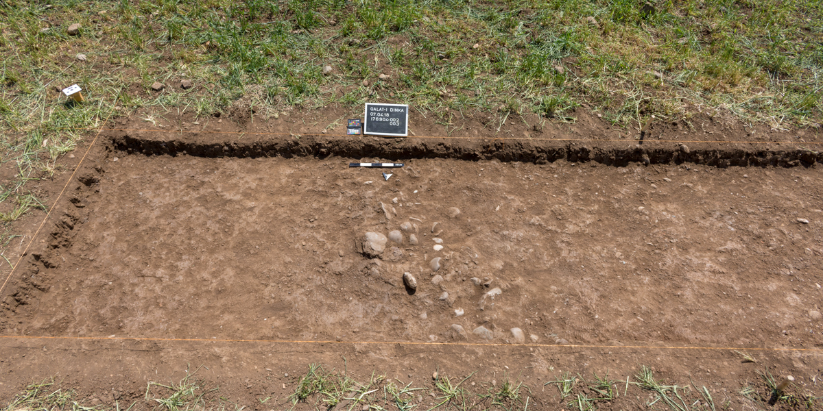
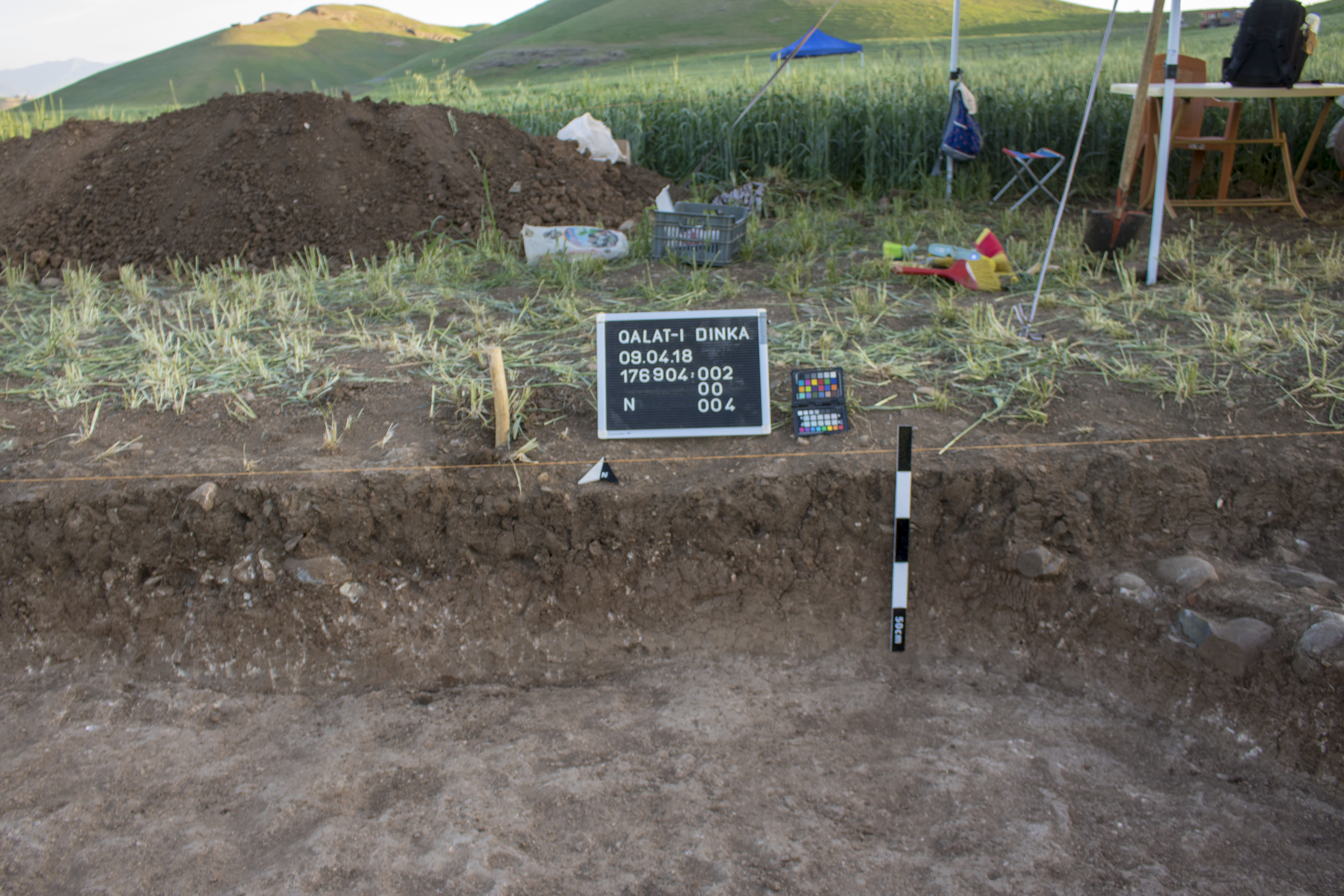
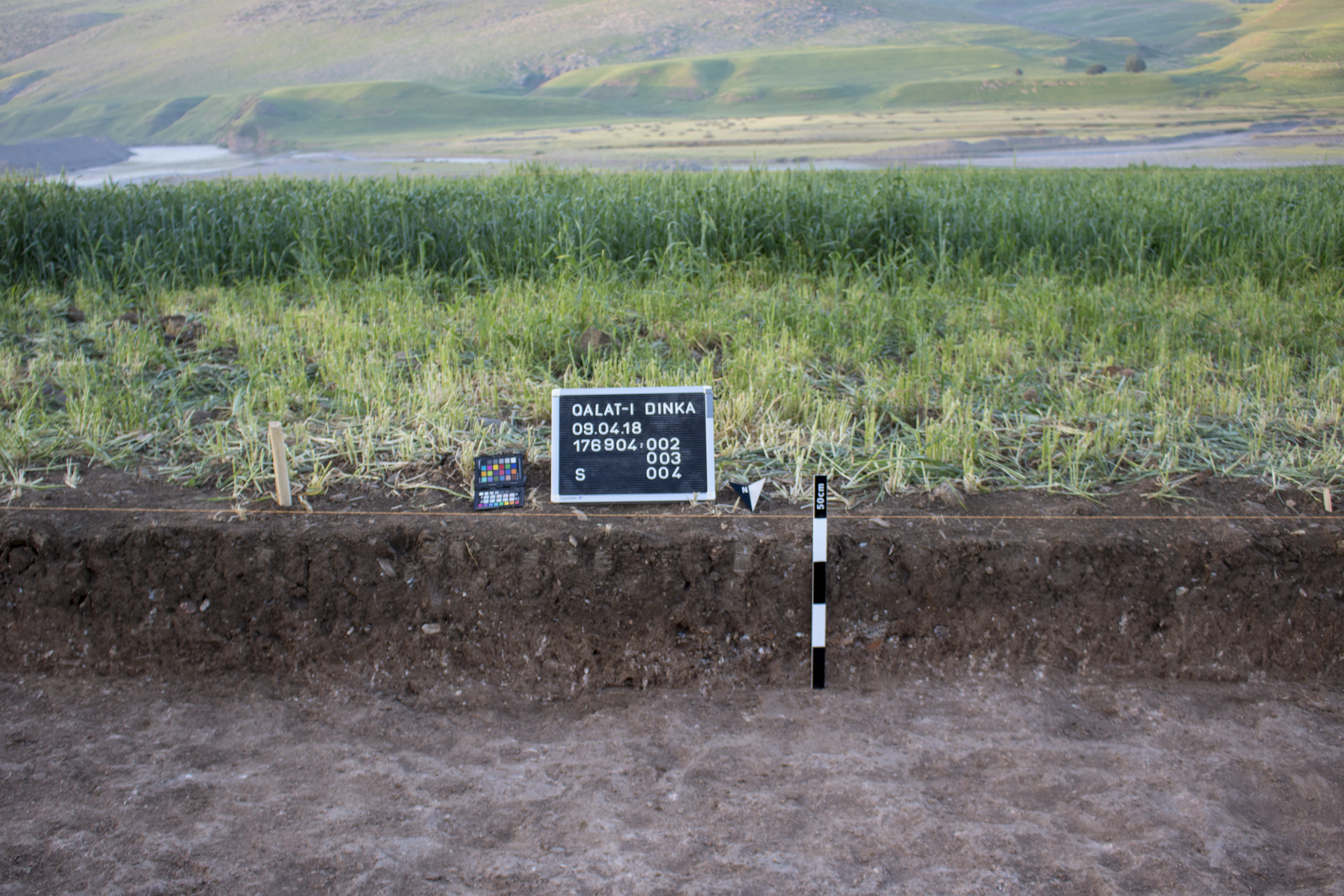
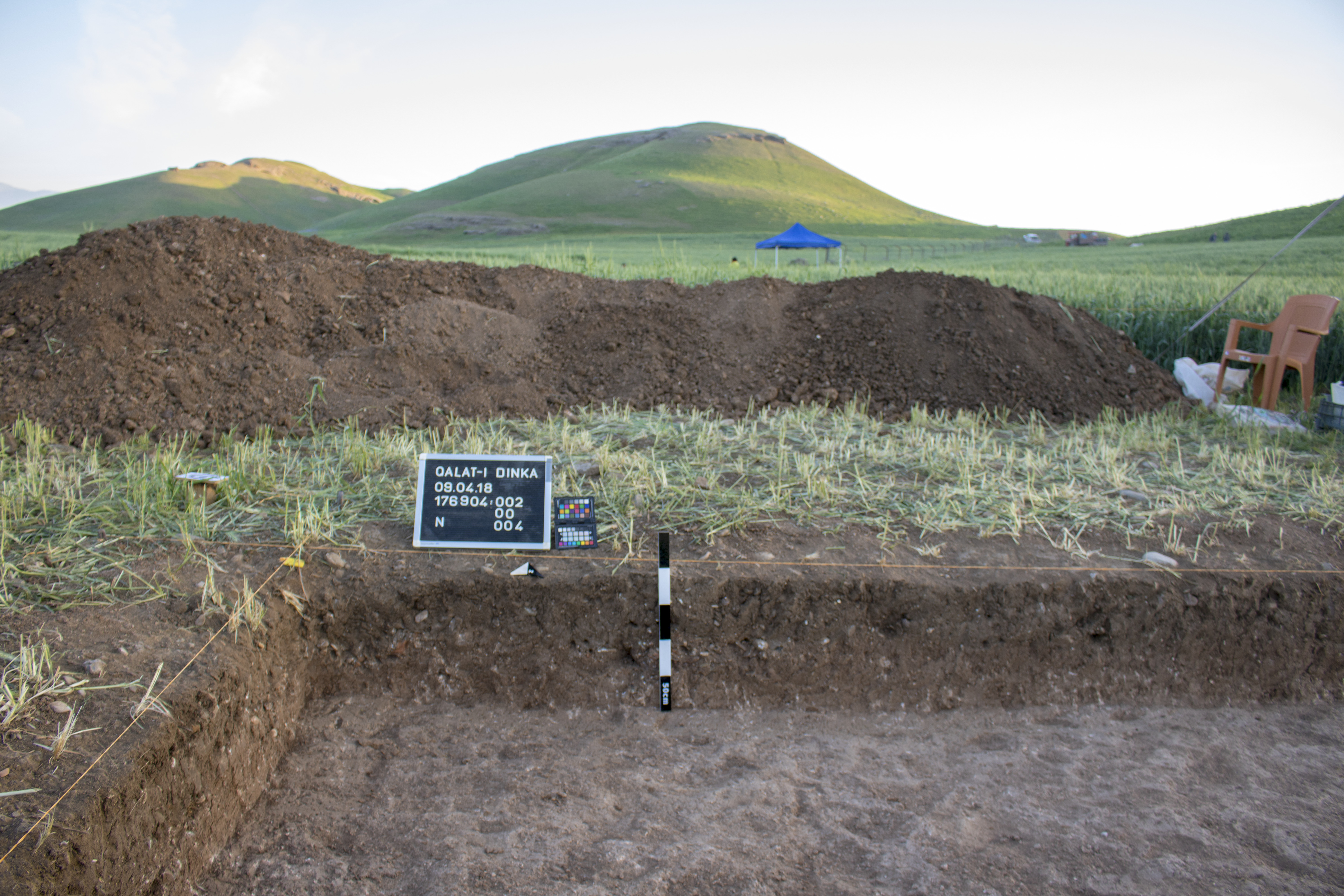
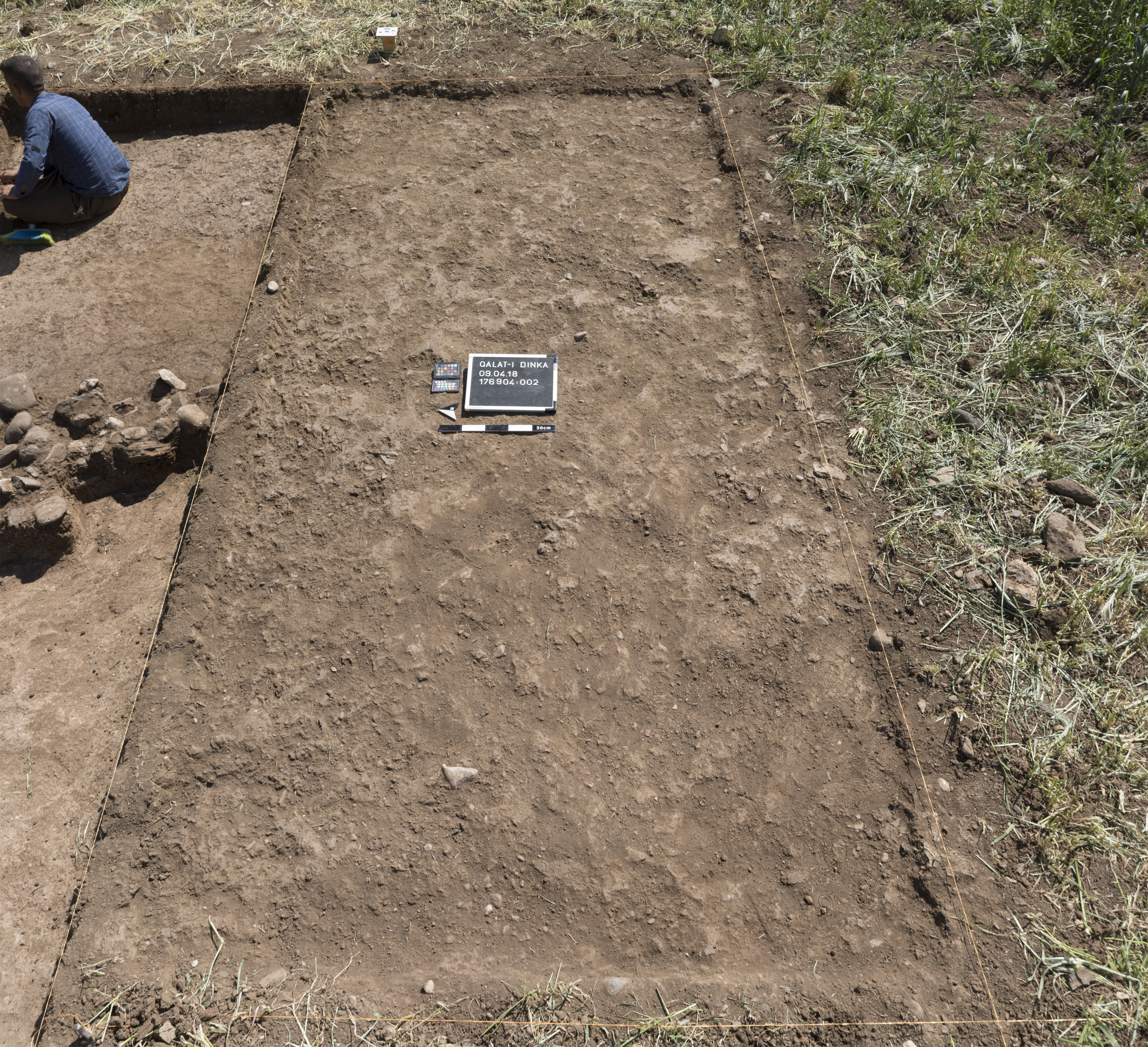
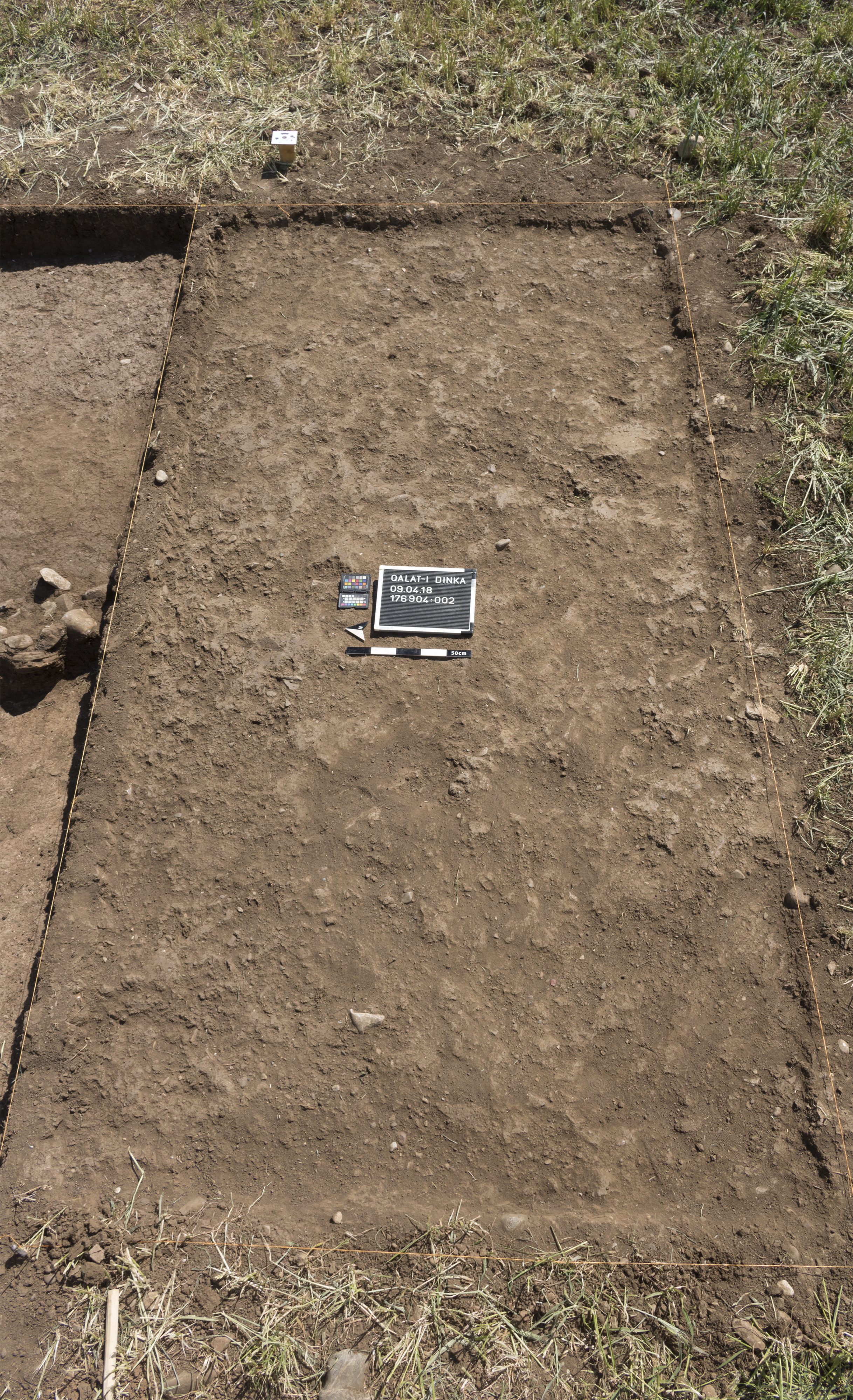
Locus:176904:002
Topsoil: Topsoil (10x2 area, S-extension 1, N-extension 1)
Administration
| Beginning | 07.04.2018 |
| Ending | |
| Liters | 15855 |
Description of the Locus
| General Description |
The topsoil is disturbed by ploughing down to a depth of roughly 40 cm. It consists of brown moist clayey fertile soil. It contains few smaller pebbles, mid-sized stones, some smaller pottery fragments and few burned brick fragments. The topsoil probably also contains settlement remains of the layer of use, that is present directly below and mixed with the topsoil by ploughing. Later remark/addition: This locus was established at the beginning for the first soil removal in the 10x2m area. With this topsoil-locus we cut settlement layers both east and west of the wall Locus:176904:003. Therefore the collection of this locus might contain material from the floors (W: LGR 0300, E: Locus:176904:039) and supra-floors (W:LGR 0295, E: LGR:0301) |
| Boundaries (Contrast, Topography) | The locus is limited by the trenches (QID 3) boundaries, which measures 10x2 in E-W orientation. |
| Consistency (Components, Colours) | |
| Interpretation & Classification of the Locus |
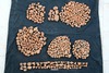
Collections
| 176904:002:001 | ||||
|
||||
| 176904:002:002 | ||||

|
||||
| 176904:002:006 | ||||

|
||||
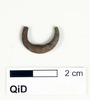
Singlefinds
| 176904:002:004 |

|
| 176904:002:005 |
|
Samples
| 176904:002:003 |
| Slag |

0000018653
0000018650
0000018651
0000018652

0000018653
0000018654

0000018655
0000018679
0000018680

0000018681

0000018682

0000018683

0000018684
0000018685

0000018686

0000018687
0000018688
0000018689